Solutions Géomatiques

Transformez vos données géographiques en décisions stratégiques avec notre expertise en géomatique.
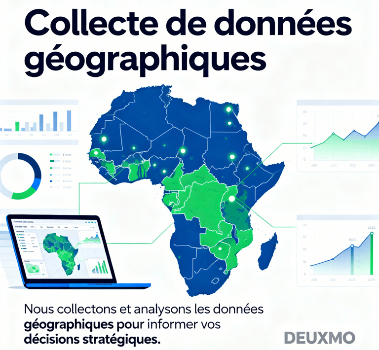
Collecte de données

Nous collectons et analysons des données géographiques pour éclairer vos décisions stratégiques.

A digital map highlights various regions with differently sized red circles, indicating concentration or intensity of certain data points, overlaid on continents such as Europe, Africa, and part of Asia. Labels in white define geographical markers including oceans and continents with faint outlines in the background.
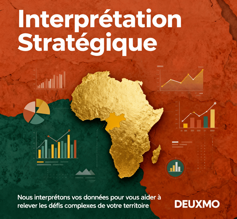
Interprétation stratégique

Nous interprétons vos données pour vous aider à relever les défis complexes de votre territoire.

A geometric landscape design featuring a mix of materials, including a triangular patch of green grass, gravel, and white pavement. The area is bordered by a low fence, and several small trees are planted in the grass. Red lamp posts provide a pop of color against the neutral tones.

Projets Stratégiques

Transformez vos données géographiques en solutions stratégiques efficaces.
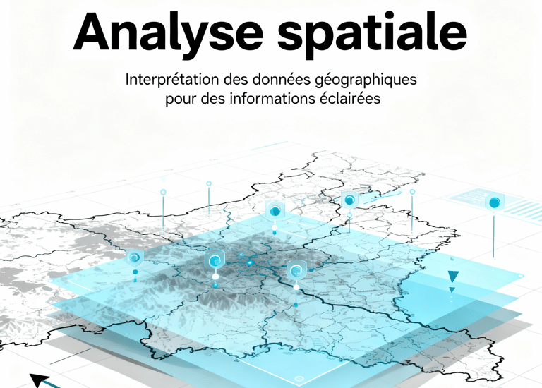
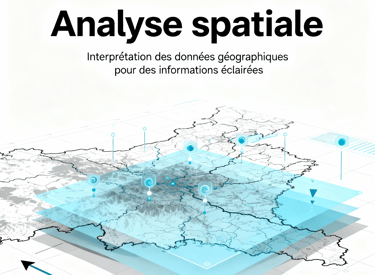
A map is spread out on sandy ground, surrounded by two people with hiking boots and one visible arm. The setting suggests planning or navigating during an outdoor adventure.
Analyse Spatiale

Interprétation des données géographiques pour des décisions éclairées.

A person is intently working with a modern surveying instrument, adjusting its components. The equipment has an orange and white body, with a digital display and various controls, suggesting precision and technical usage.
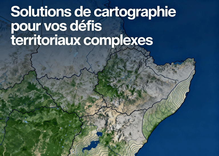
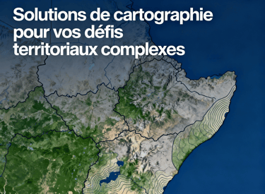
Cartographie Avancée

Solutions de cartographie pour vos défis territoriaux complexes.
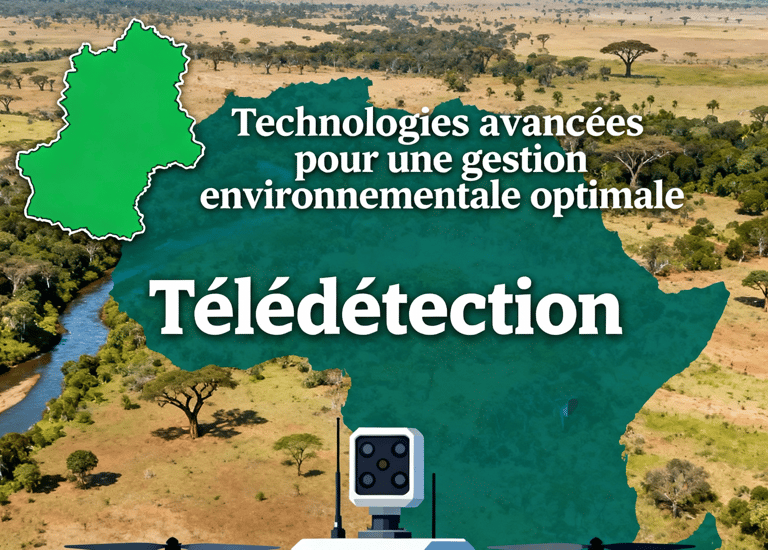
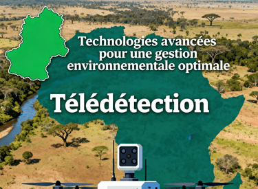
A series of drawn wireframes and sketches on white paper showcasing mobile app interface designs. The designs are accompanied by a laptop displaying a digital map with various data points. Pens and other sketching tools are partially visible, indicating a workspace focused on digital design and mapping.
A smartphone displaying a satellite view of a large body of water is placed on an old, detailed map. The phone screen shows a map application with various measurements and geographical details. The map beneath appears to be historical, with intricate street layouts and labels.
Télédétection

Technologies avancées pour une gestion environnementale optimale.
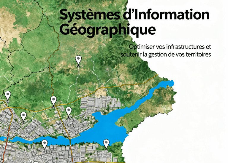
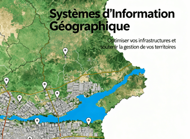
SIG

Systèmes d'information géographique pour optimiser vos infrastructures.